Silver Creek Valley Road Walk
I am lucky to be working at LinkedIn, a company that truly cares for my mental health and well-being. Today was a day for my organization, Infrastructure SRE, to take a break and recharge. We were encouraged to use the day however we saw fit – work on a favorite project, learn something new, take a hike on a favorite hiking trail, go for a bike ride or just spend time with the family.
I took the day and spent it with the family, but I also had some time to do something fun by myself.
I usually run up and down Silver Creek Valley Road. The distance from bottom to the top is around 1.5 miles with nearly 500ft of elevation gain and it is pretty steep. Whenever I run it, I always tell myself that I should come with a real camera (I once carried a GoPro with me and the results can be seen here) and take some nice pictures while walking.
So, that’s what I did today. I grabbed my Sony a7 II mirrorless camera, put on a Sony 24-105mm f4 lens and headed up the hill. The plan wasn’t to get to the top, but to reach the gateway – halfway up – and then head back down.
The walk was great! Here’s the journey in pictures.
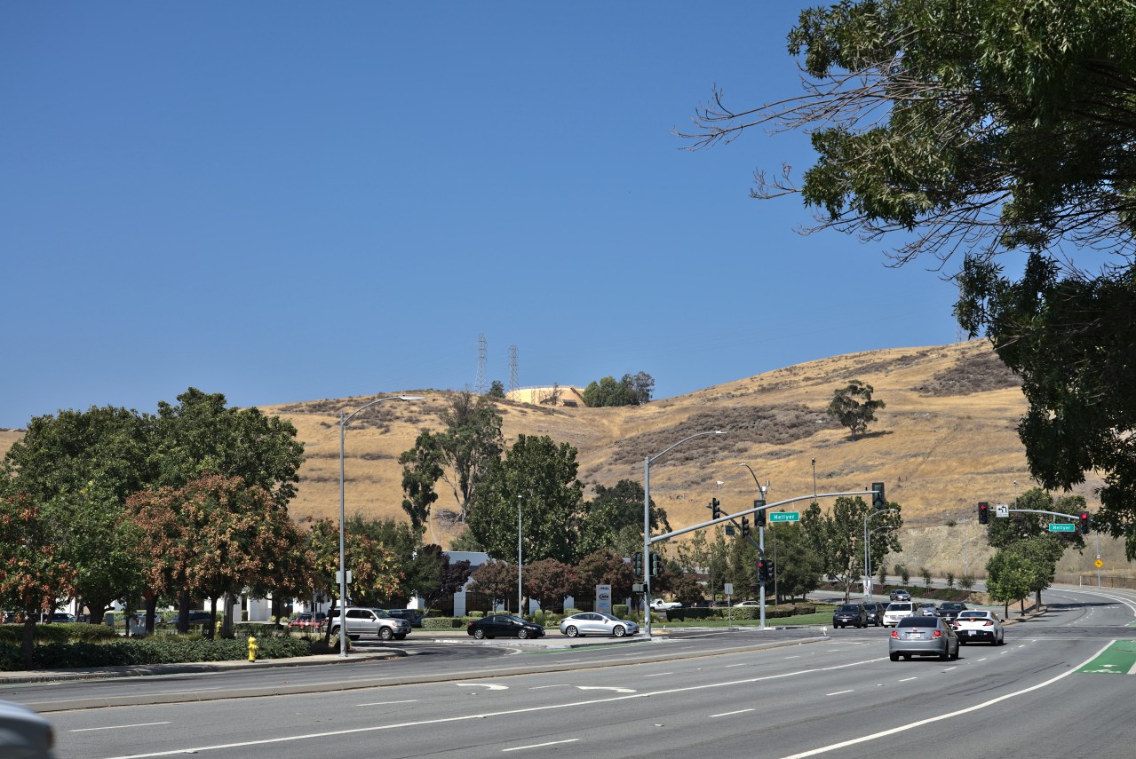
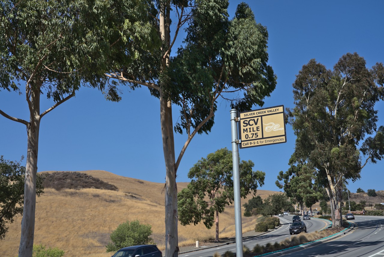
Where it all starts.
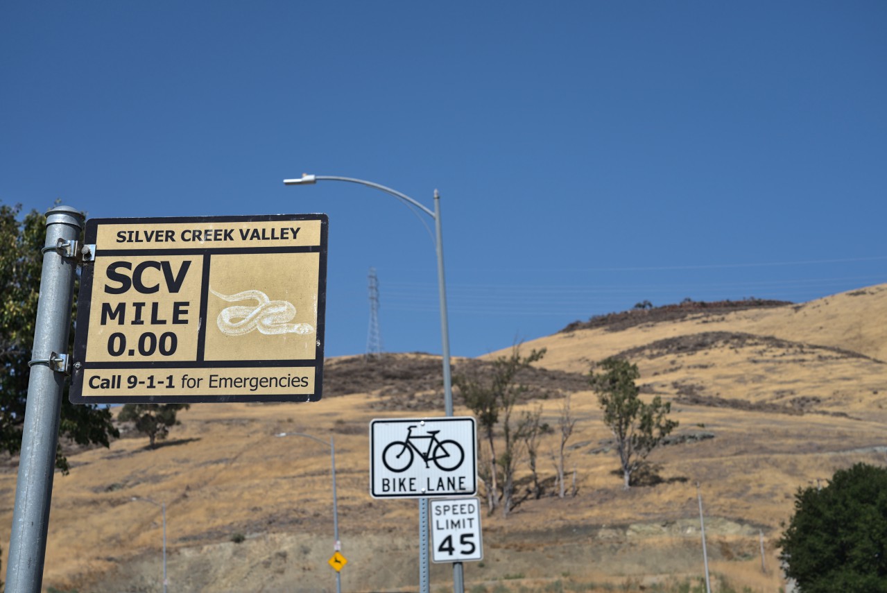
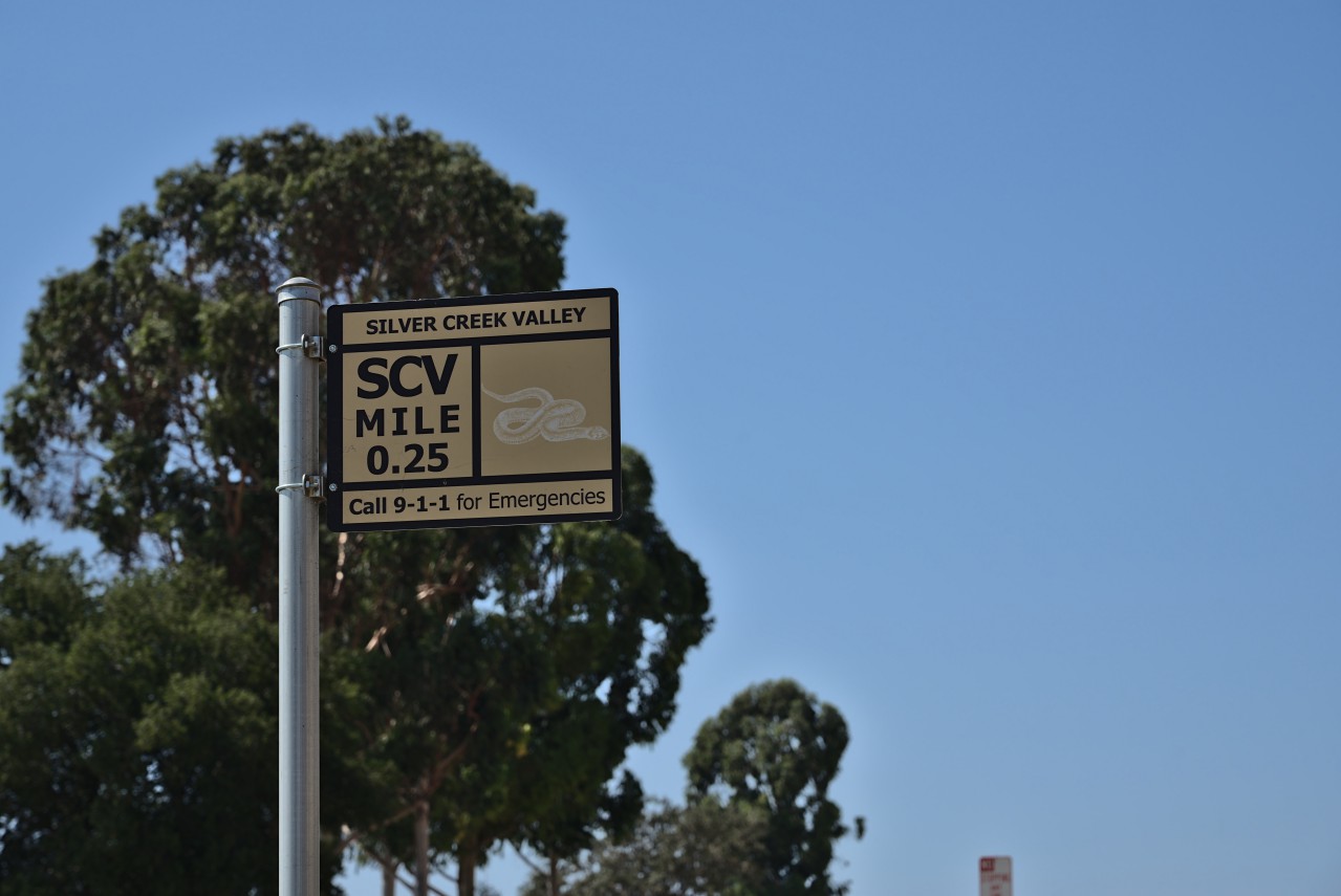
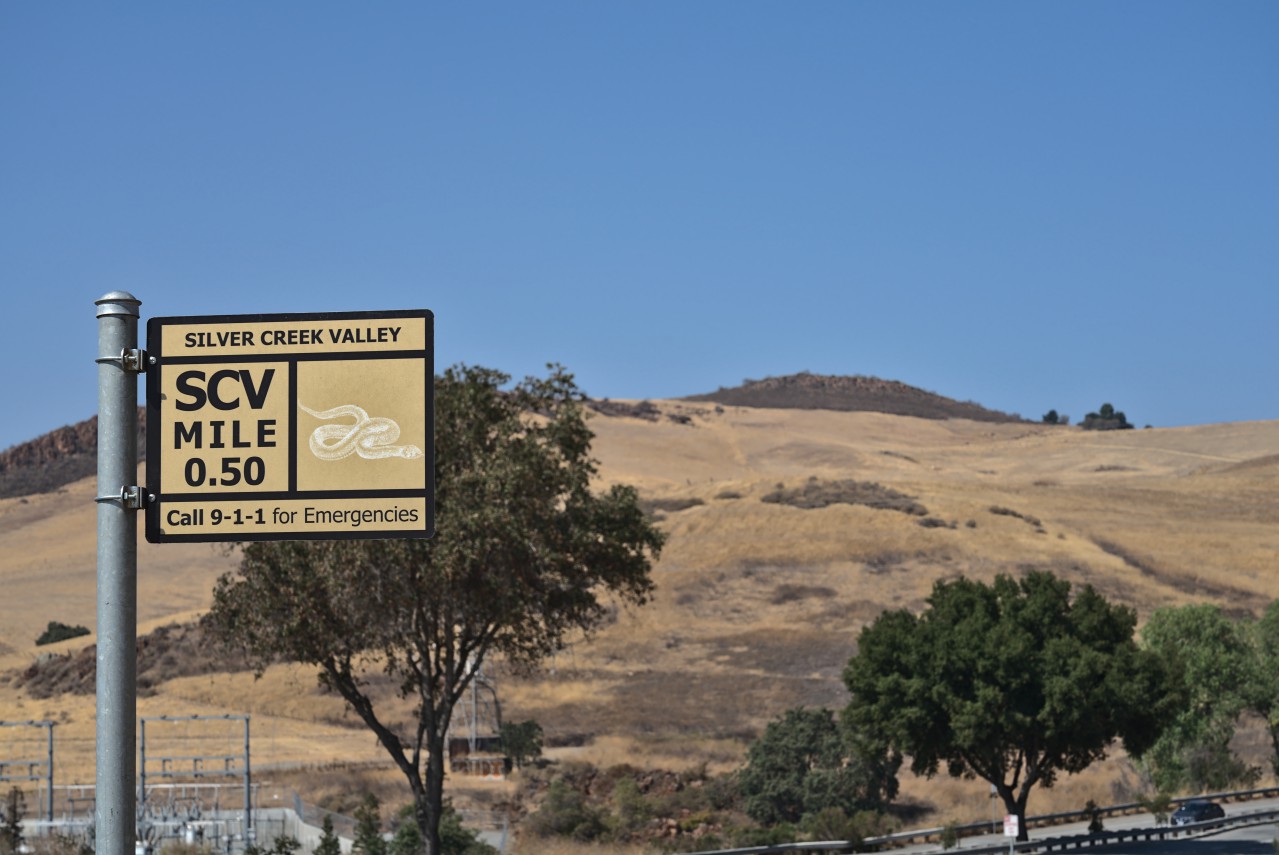
Mile marker 0.00.
This is the first bit and it is a 5-6% grade, which when I first saw this on a map years ago thought “That’s not too bad.” But, running this is not easy for a guy who usually runs on flat 0% grade suburban streets.
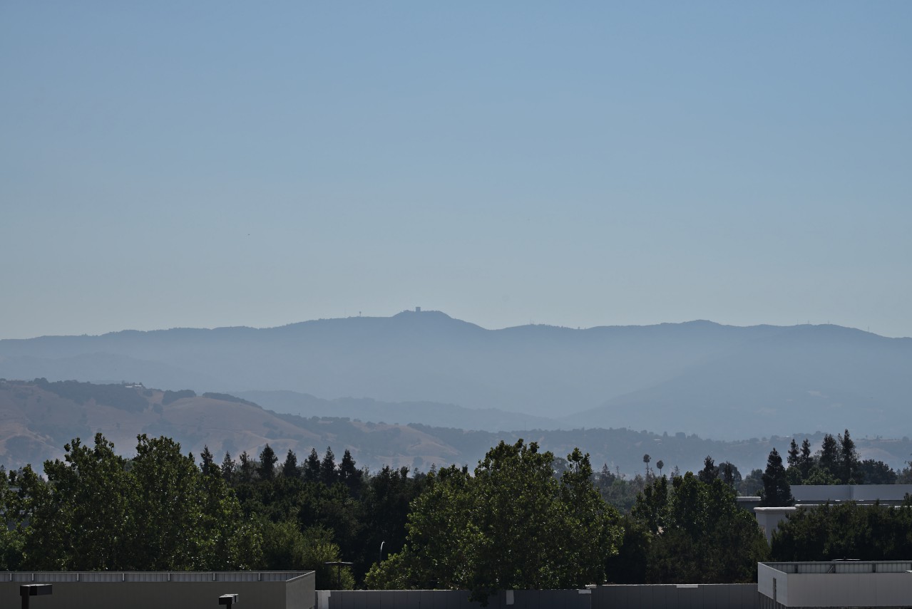
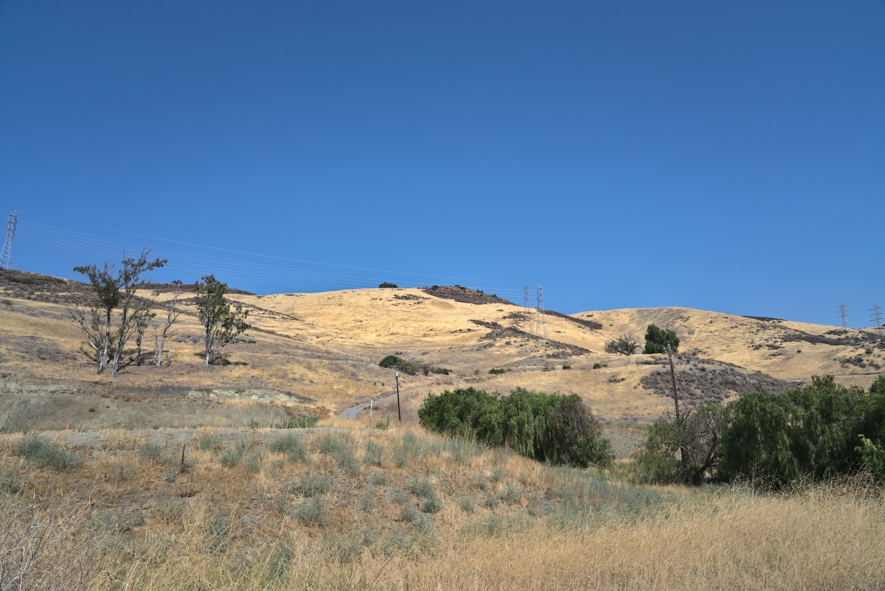
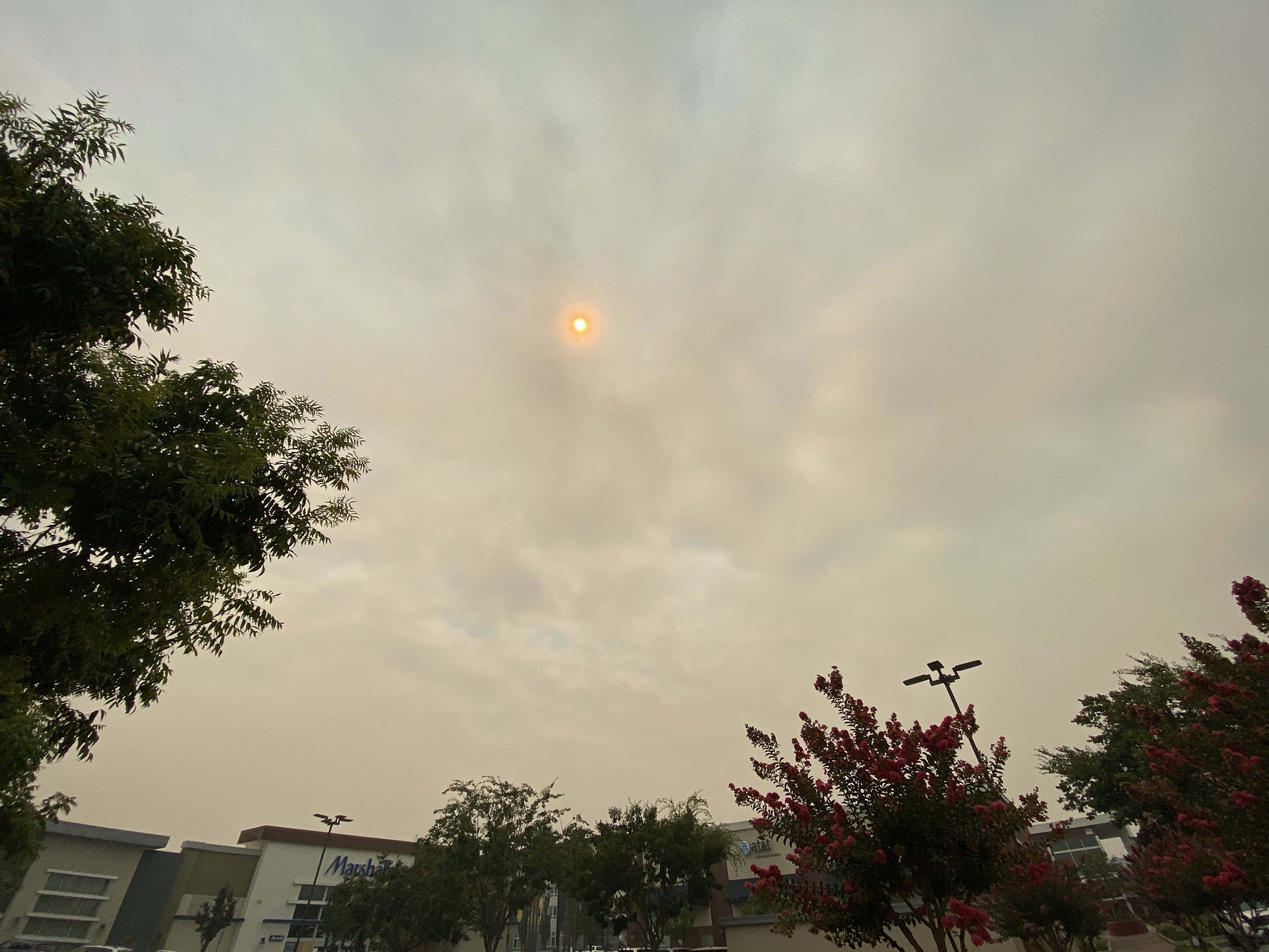
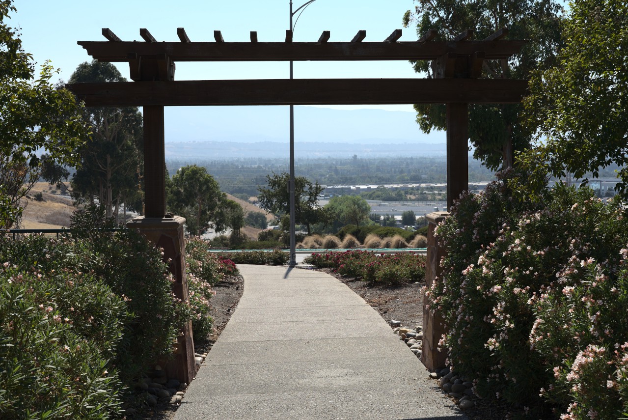
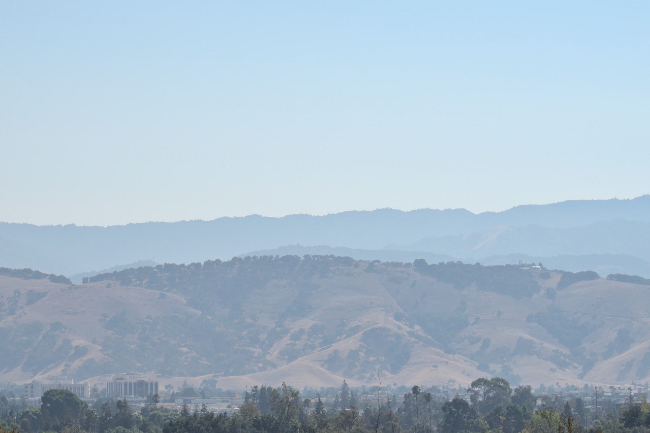
That’s Mount Umunhum in the distance there. The haze and smoke from the fires continues to blanket the valley. It is not as bad as before though.
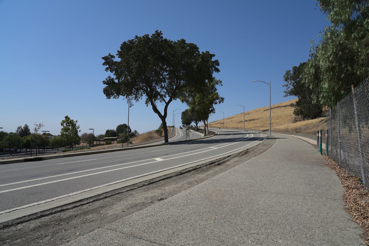
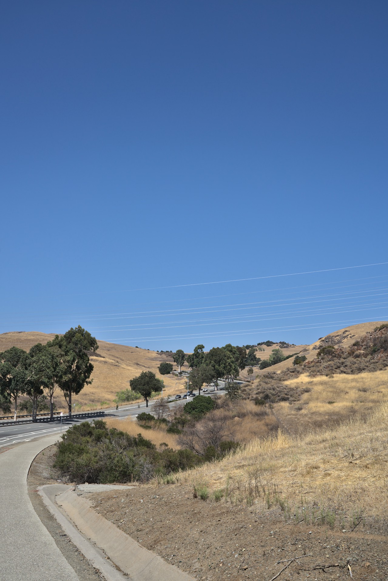
A third of the way to my destination!
Two thirds of the way there.
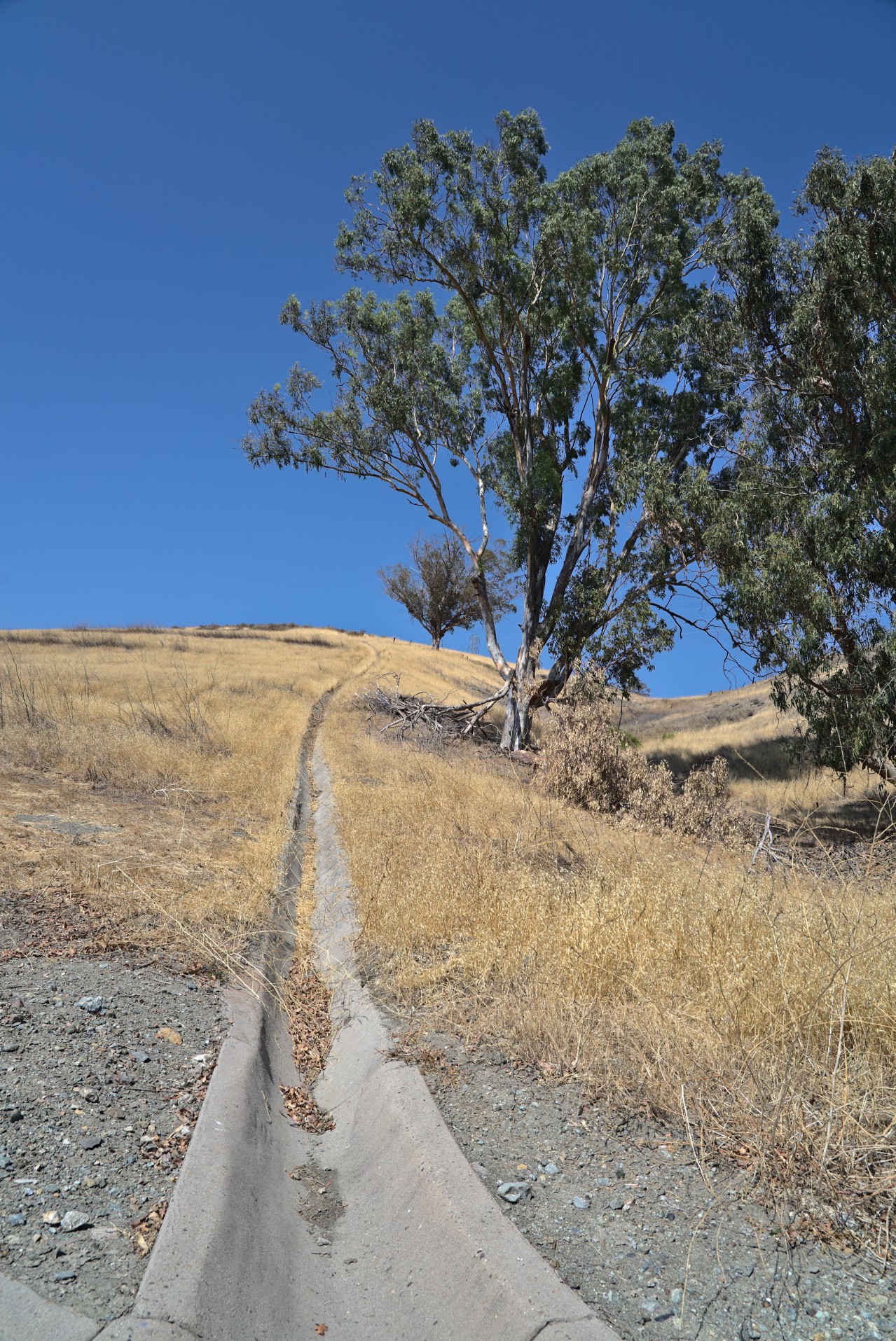
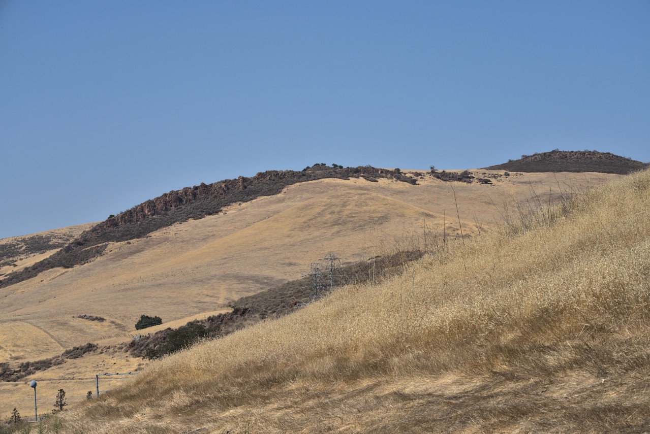
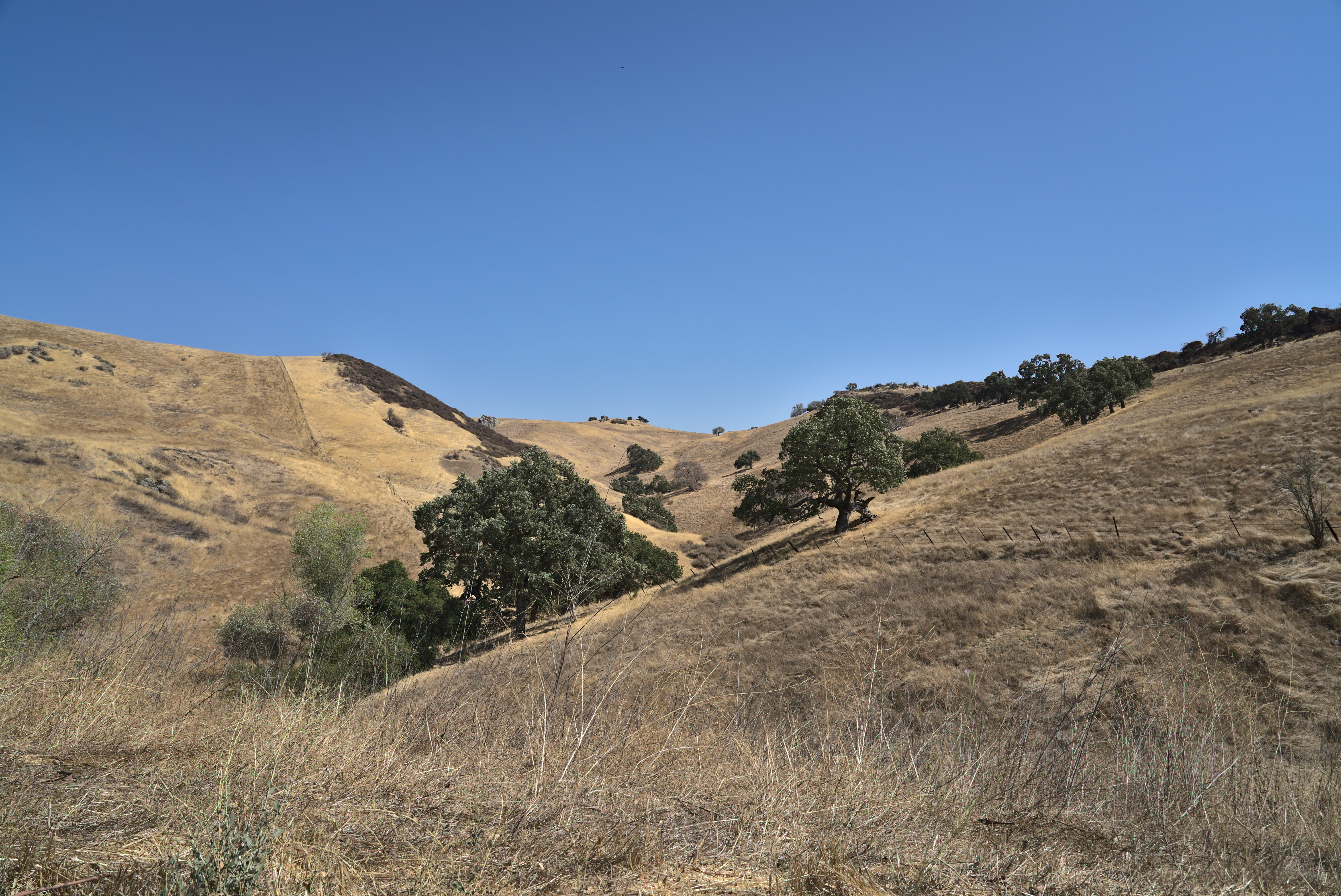
The twisty bits.
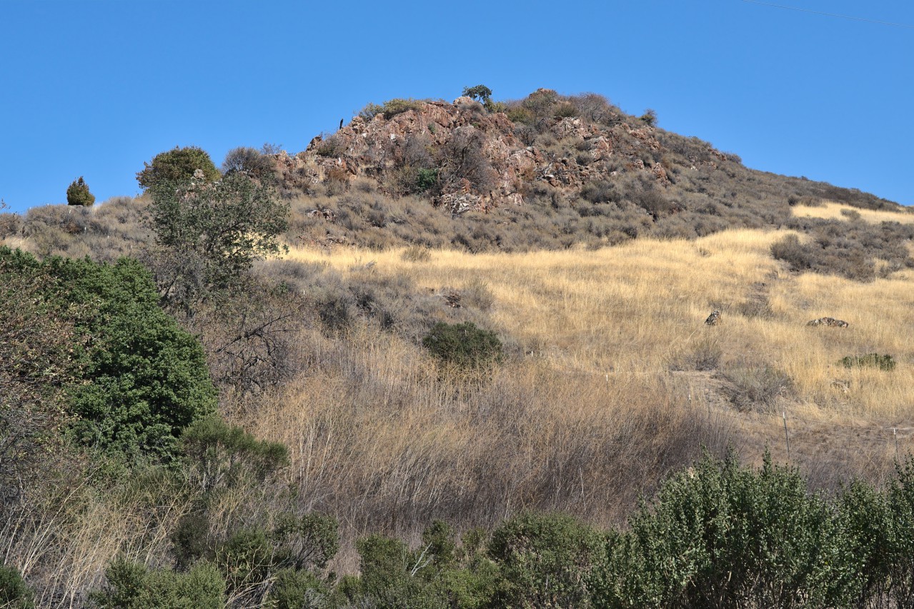
This rock formation looked so cool when I’m not huffing and puffing while running by.
Just a little further after this.
Look bird! Can’t see it? Click the picture to get the full-sized version.
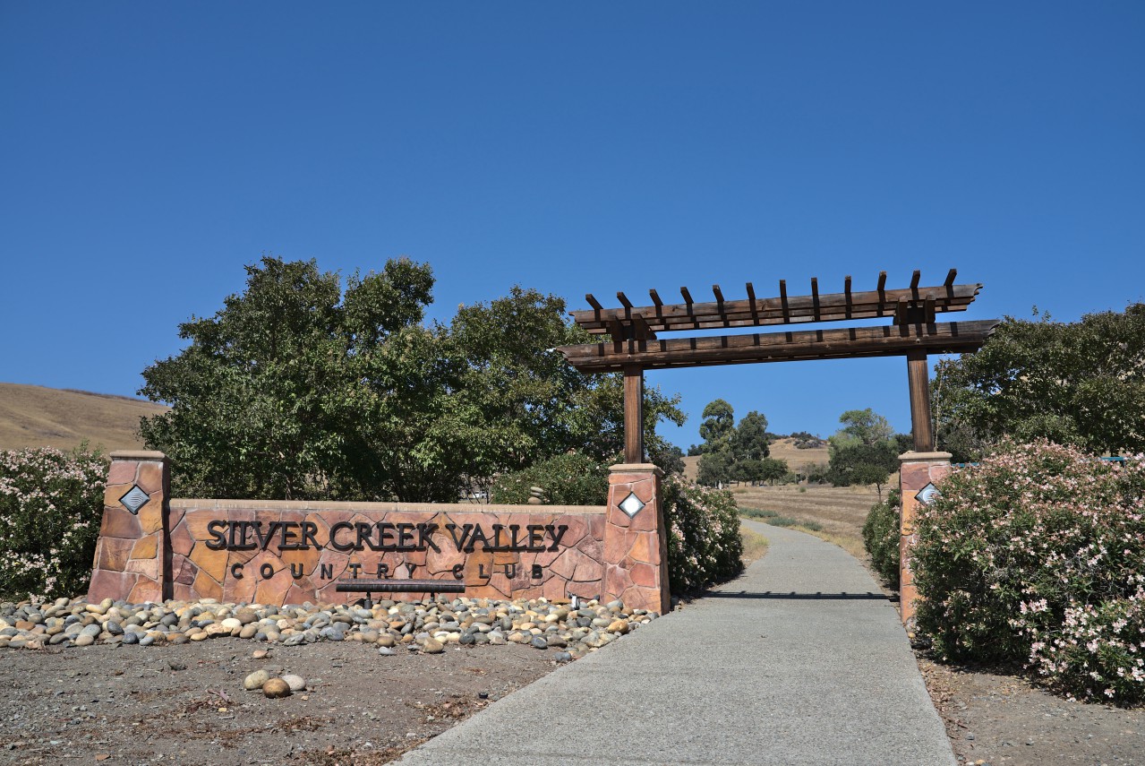
Finally, I reach the Gates to Silver Creek Valley Country Club. The path gets a bunch steeper after this (10-12% grade) and is quite challenging when running.
Time to head back.
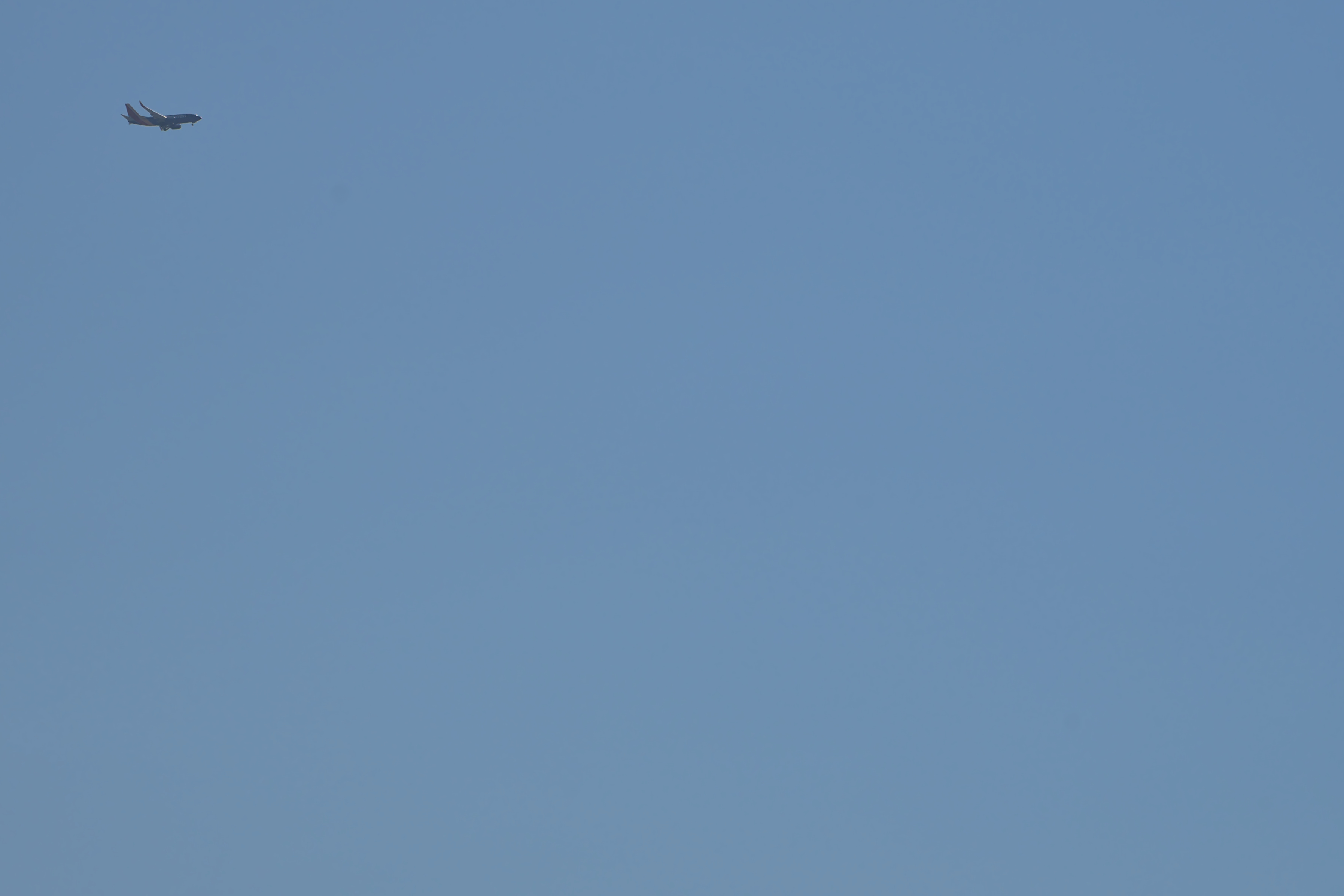
Look plane! Can you tell which airline it is?
The tall buildings on the bottom left make up the Kaiser campus on Cottle Road.
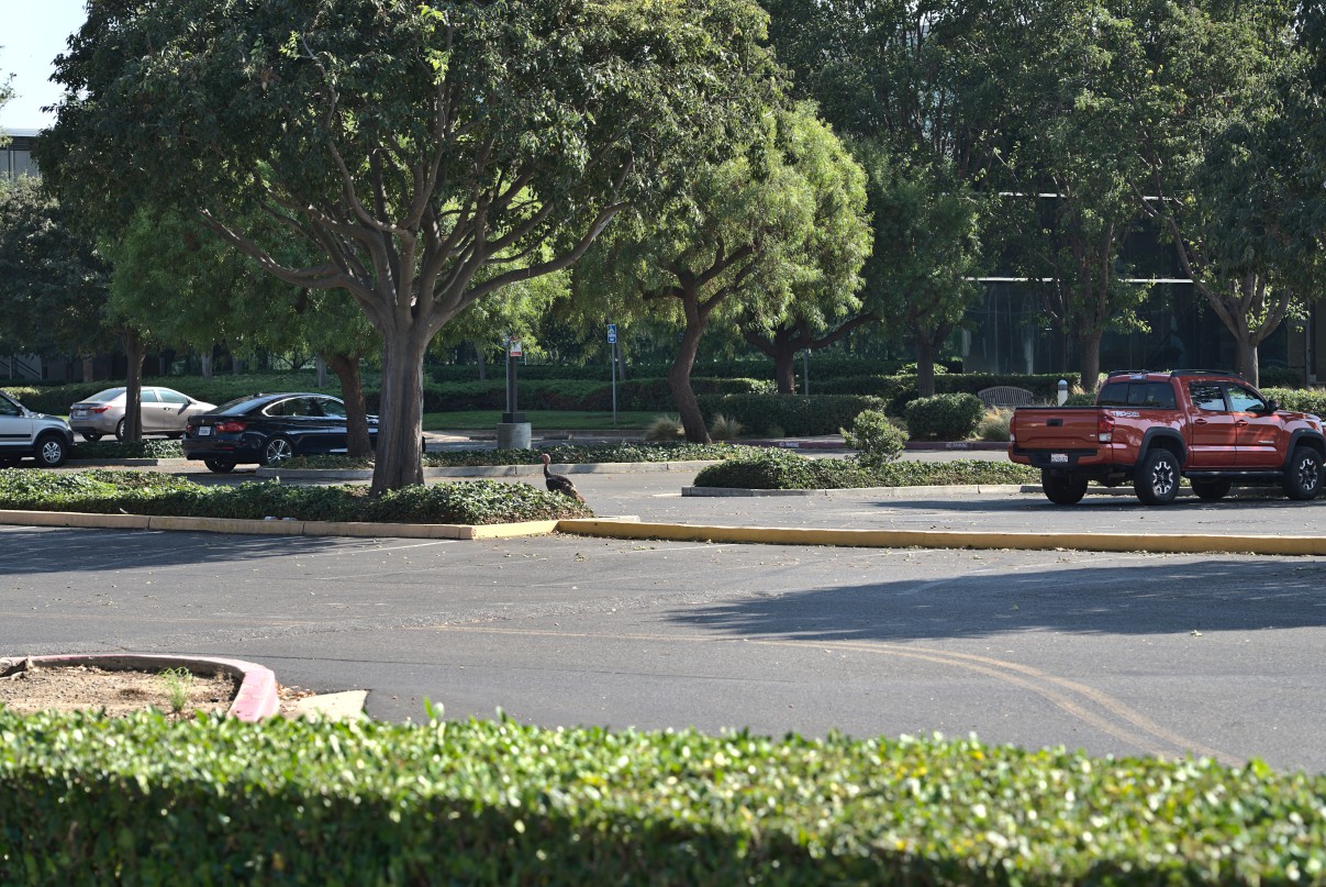
I had parked by Niji Sushi and Ramen – a great place to eat, yummy food here. When I got back to my car, I spotted this wild turkey wandering about the parking lot.
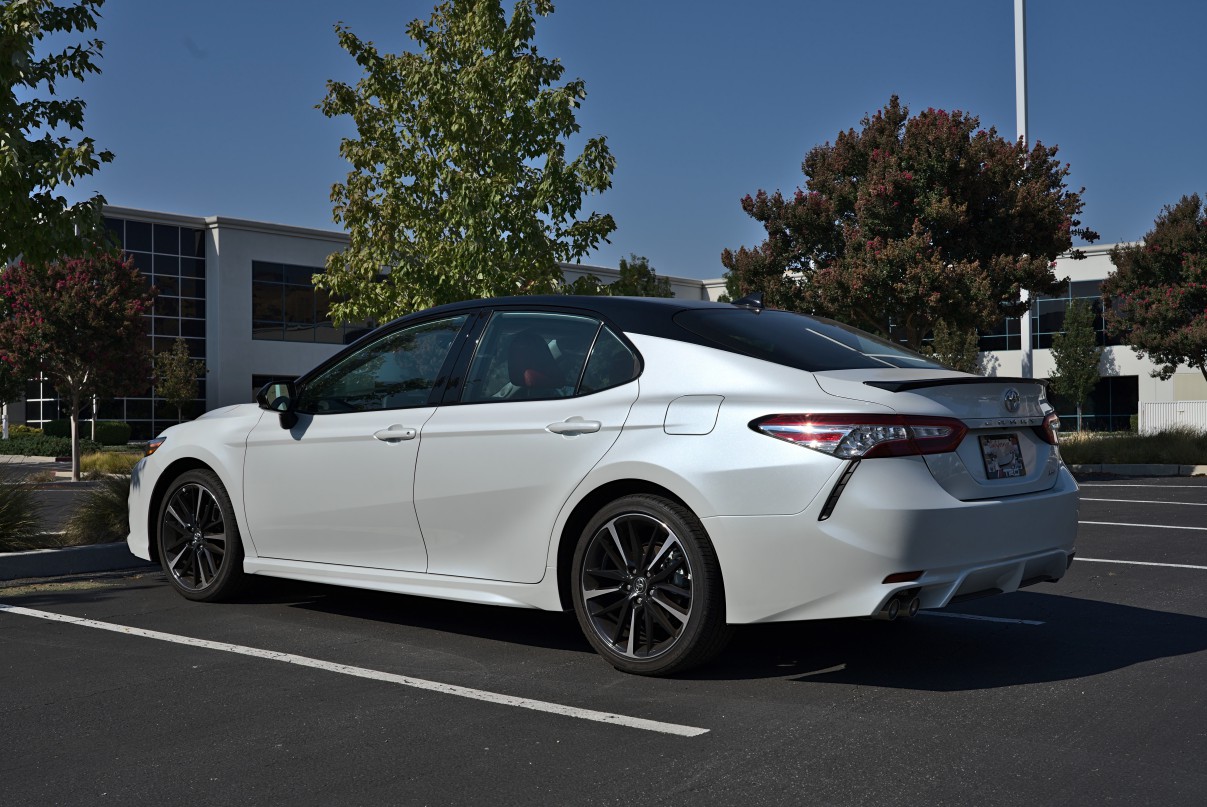
I had to sneak a picture of my car into the post, of course.
What an awesome walk. I walked 2.23 miles in 48 minutes and gained 240ft of elevation.